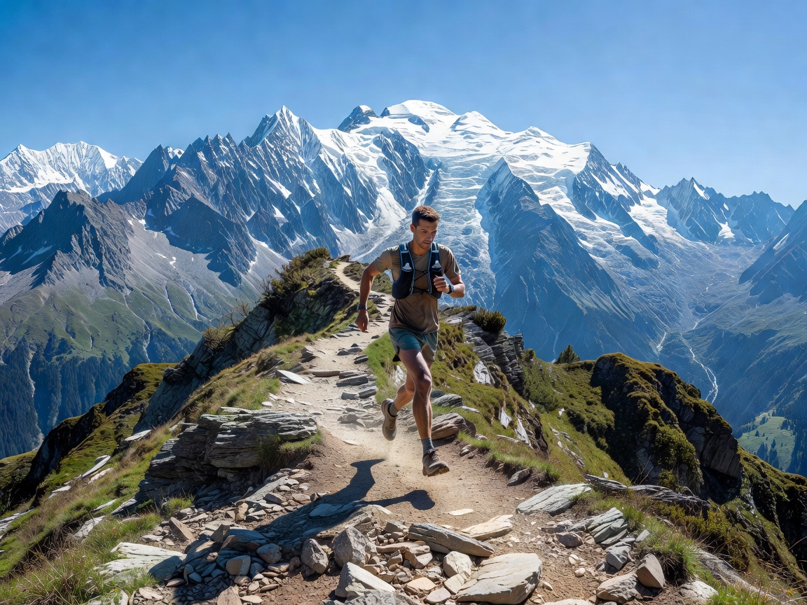
The 48-Hour Alpine Running Schedule
Board an early-evening flight to Geneva Cointrin Airport (GVA). Take a direct bus or shared mini-van transfer through the Arve Valley straight to Chamonix-Sud in 1 hour 15 minutes. Stash your 12-litre race vest, drop your bags, and sleep early at your accommodation in Chamonix town or Les Praz.
Saturday is your high-volume endurance block: the Grand Balcon Sud traverse. Step out of your hotel door at 06:45. Ascend straight through the spruce trees to Planpraz (2,000 m), bypass the lift lines on foot, and press along the high trail towards Flégère. From Flégère, push upwards to the turquoise glacial bowl of Lac Blanc (2,352 m). The view across the valley directly exposes the Bossons Glacier and the summit ridge of Mont Blanc. Drop down through Tré-le-Champ, clocking 26 kilometres and 1,750 metres of climbing before taking the Mont-Blanc Express train back to town for recovery.
Sunday tests pure anaerobic power on the Chamonix Vertical KM track. Climb from the church in town straight under the cable car line to Planpraz: precisely 1,000 metres of elevation gain compressed into just 3.8 kilometres of distance. You reach the summit viewing terrace in 50 to 75 minutes of redline heart-rate effort. Descend via the cable car to save your patellar tendons, pack your kit, and transfer back to Geneva for late-afternoon departures.
Sector Route Metrics & Elevation Profiles
| Segment Sector |
Distance |
Positive Gain |
Negative Gain |
Technical Surface |
| Planpraz to Lac Blanc Circuit |
26.4 km |
+1,780 m |
-1,720 m |
Granite boulders, fixed ladders |
| Chamonix Kilomètre Vertical (VK) |
3.8 km |
+1,000 m |
0 m (Lift down) |
Steel cables, exposed roots, rock |
| Les Houches to Chalette de Bellevue |
14.2 km |
+1,120 m |
-1,120 m |
Alpine meadows, steep switchbacks |
Pacing, Nutrition, and Altitude Physiology
Chamonix trails start at 1,035 metres and push past 2,500 metres. At these altitudes, arterial oxygen saturation drops noticeably during threshold efforts. Attempting to match your sea-level road pace on the initial climb out of the valley leads to rapid glycogen depletion and debilitating calf cramps before noon.
Carbohydrate & Sodium Logistics
Target 60 to 80 grams of mixed maltodextrin and fructose carbohydrates per hour on the trail. In dry alpine air, respiration strips moisture rapidly from your lungs. Consume 500ml of water fortified with 500mg sodium per 60 minutes of forward running motion to prevent severe cramping during technical descents.
Footwear & Pole Strategy
Wear trail running shoes fitted with deep 5mm multidirectional lugs and a built-in rock plate to cushion jagged Aiguilles Rouges granite. Carbon three-section folding poles are essential for the vertical climbs; stow them securely in your quiver on rocky descents where hand placement is needed.
Weather Risk Management: High Mountain Traps
Even in mid-summer, temperatures on the high balcony plunge to freezing during sudden afternoon thunderstorms. Never run without a lightweight waterproof jacket with a taped-seam water column of at least 10,000mm, a space blanket, and an emergency whistle. If thunder rumbles across the Aiguille du Goûter, get off the exposed ridges immediately and descend below the tree line.